I am briefly reopening this blog to report the death of my father at the end of August 2022. He reached the grand age of 88, but had suffered rapidly declining health throughout this year. Due to the restrictions occasioned by Covid, I had not been able to visit since 2019, but did see him for the final time five days before he passed away.
Between 2008 and 2019, I would always stay in my father's house when I came to visit; usually over Christmas and New Year. There were other visits through the year as well. Sometimes, I'd travel to see other relatives in the country, or join my dad for little holidays in his favourite holiday island, Vlieland. He managed, with assistance, to visit that little place again in July. Staying in his house was a reminder of my mother, who predeceased him in 2008.
Now that my father has passed away, it really is the end of an era. He had lived in the same house for over 50 years, and it held many memories. Both he and my mother were keen gardeners in their day, but the front and back gardens were an arid wasteland due to a summer drought. There is now little if anything to go back to in the little village, apart from the grave where they now both rest.
This is the Shell Gallery signing off.
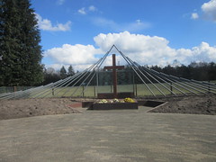 Woeste Hoeve - memorial for 117 executed
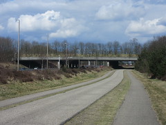 Cerviduct, Terlet
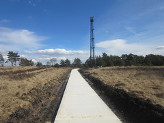
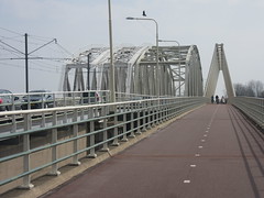 Bridge, Westervoort
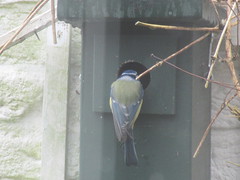 Inspecting the nestbox
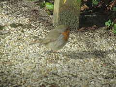 Robin
Robin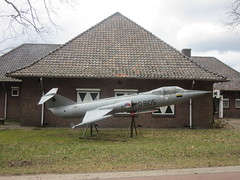 Airforce museum, Deelen
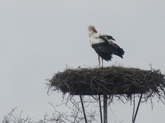 Stork
Stork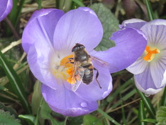 Crocus
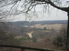 Zypenberg
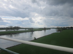 River Rhine, Westervoort
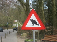 Migrating toads
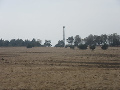 Fire watch tower
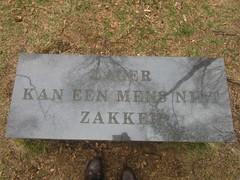 Lower a man cannot sink (Teerose II)
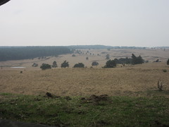 View from the Elsberg
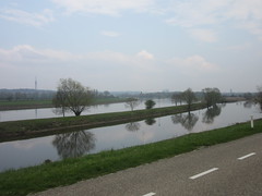 River Rhine between Driel and Praets
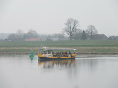 River ferry, Driel / Oosterbeek
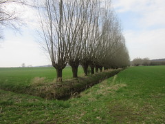 Havikerwaard, Ellecom
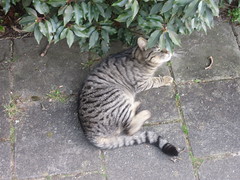 Friendly puss
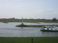 IJsselkop, Westervoort
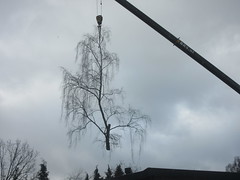 Flying tree
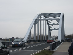 Bridge, Doesburg
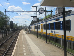 Railwaystation, Velp
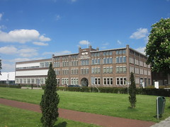 Bicycle factory, Dieren
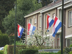 Flags out for King's Day, 27 April
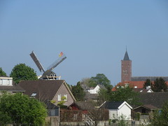 Giesbeek
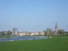 Doesburg
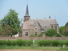 Olburgen
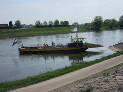 River ferry, Rheden
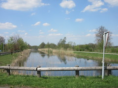 Canal, Dieren
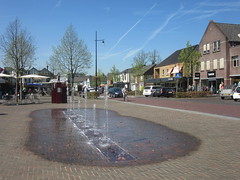 Eerbeek
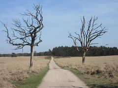 Deelerwoud
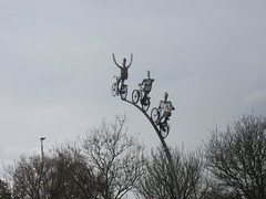 Duiven


